Mount Lola
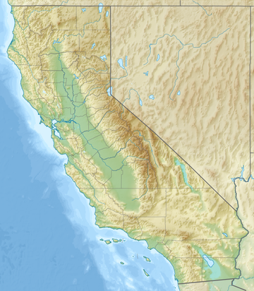
Mountain in California, United StatesMount Lola is a mountain in the Sierra Nevada of California. Its summit, located north of Donner Pass and Interstate 80, is the highest point in Nevada County. It is also the highest point in the Sierra Nevada north of Interstate 80. A subsidiary peak 1.2 miles (1.9 km) north of the main summit is highest point in Sierra County at 8,848 feet (2,697 m) NAVD 88.
Read article
Top Questions
AI generatedMore questions


